New bachelor's program in geoinformatics
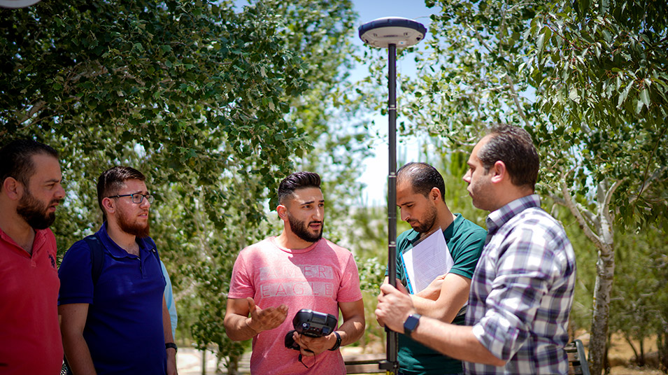

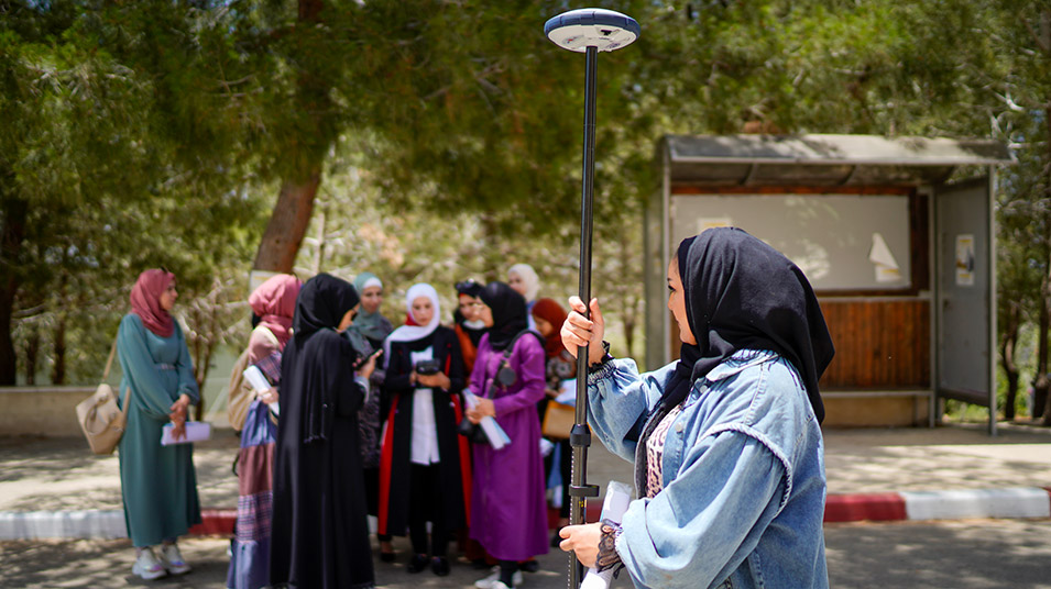
Beginning with the 2021–2022 fall term, the Department of Geography at Birzeit University will offer a new bachelor’s degree in geoinformatics that provides students with the knowledge and skills to pursue careers or carry out advanced applied research in geography.
The program, comprising 120 credit hours, focuses on the processing, management, and analysis of spatial information to inform planning as well as policy-making and decision-making activities. Through the program’s different courses and modules, students will be able to design and implement solutions to urban planning and development issues using geographical information systems and remote sensing, among other tools.
Offering a multidisciplinary course of study, the bachelor’s program in geoinformatics is tightly integrated with closely related academic programs, such as civil engineering, computer science, and spatial engineering. The program also draws on several interrelated fields, including geocomputation, database technology, and information systems.
Uniquely, the program is divided into three levels that students move between as they progress through their course of study. The first year modules introduce students to the basics of geoinformatics, while the second and third year courses focus on information processing and structure. Finally, the fourth year courses present students with the opportunity to apply the skills and knowledge they’ve gained to real-world issues and situations.